
Footpath Route Planner Price Snapshot
Footpath Route Planner by Half Mile Labs LLC is free to download on the Apple App Store, and offers 3 in-app purchases from $1.99–$23.49 (avg $9.82). It holds a 4.8★ rating from 20.9K reviews.
Latest IAP data: 2026-05-07. Listing last updated: 2025-06-12. Source: public Apple App Store data, compiled via the App Pricing Lab methodology.
Rankings
| Category | Collection | Rank | Date |
|---|---|---|---|
| NAVIGATION | top-grossing-ipad | #38 | 2026-03-12 |
| NAVIGATION | top-free-ipad | #56 | 2026-03-12 |
| NAVIGATION | top-grossing | #57 | 2026-03-12 |
| NAVIGATION | top-free | #66 | 2026-03-12 |
In-App Purchase Overview
In-App Purchases (3 items)
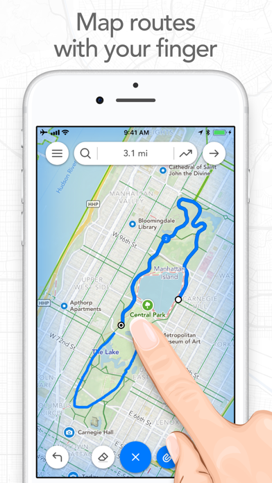
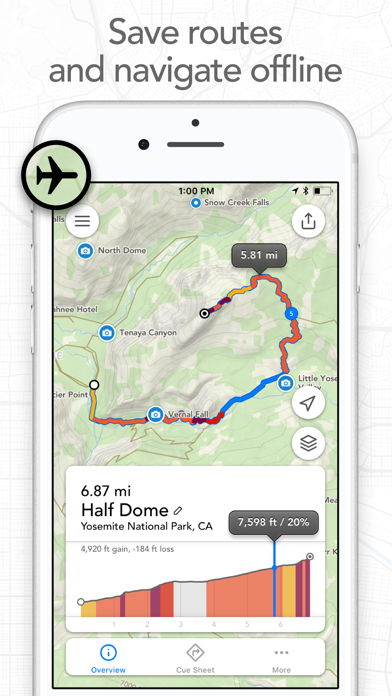
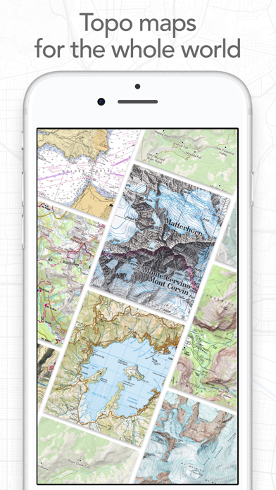
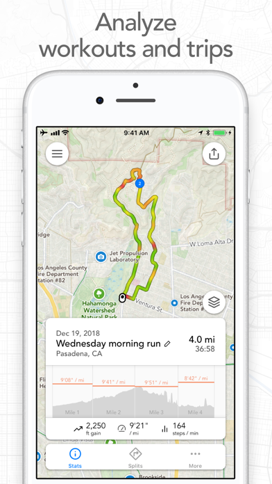
Screenshots


About Footpath Route Planner
Frequently Asked Questions
Is Footpath Route Planner free?
Yes, Footpath Route Planner is free to download. It offers 3 in-app purchases.
What is the rating of Footpath Route Planner?
Footpath Route Planner has a 4.8 out of 5 star rating based on 20.9K reviews on the Apple App Store.
What are the in-app purchase prices for Footpath Route Planner?
Footpath Route Planner offers 3 in-app purchases ranging from $1.99 to $23.49. View full price history.
Who made Footpath Route Planner?
Footpath Route Planner was developed by Half Mile Labs LLC. Visit their website at https://footpathapp.com.
Developer
Explore More
Related Navigation Apps
Share & Embed
Use these badges on your website or blog to link back to this app's data.
<a href="https://apppricinglab.com/app/apple/634845718"><img src="https://apppricinglab.com/api/badge/rating?store=apple&app=634845718" alt="Footpath Route Planner rating on App Pricing Lab" /></a><a href="https://apppricinglab.com/iap/apple/634845718"><img src="https://apppricinglab.com/api/badge/iap?store=apple&app=634845718" alt="Footpath Route Planner IAP prices on App Pricing Lab" /></a><a href="https://apppricinglab.com/app/apple/634845718"><img src="https://apppricinglab.com/api/badge/rank?store=apple&app=634845718" alt="Footpath Route Planner ranking on App Pricing Lab" /></a>