
i-Boating: Marine Charts & Gps Price Snapshot
i-Boating: Marine Charts & Gps by Bist LLC is free to download on the Apple App Store, and offers 10 in-app purchases from $19.99–$25.99 (avg $21.79). It holds a 4.5★ rating from 14.1K reviews.
Latest IAP data: 2026-05-18. Listing last updated: 2026-02-13. Source: public Apple App Store data, compiled via the App Pricing Lab methodology.
Rankings
| Category | Collection | Rank | Date |
|---|---|---|---|
| NAVIGATION | top-grossing-ipad | #53 | 2026-03-12 |
| NAVIGATION | top-free-ipad | #57 | 2026-03-12 |
| NAVIGATION | top-grossing | #86 | 2026-03-12 |
| NAVIGATION | top-free | #207 | 2026-03-12 |
In-App Purchase Overview
In-App Purchases (10 items)
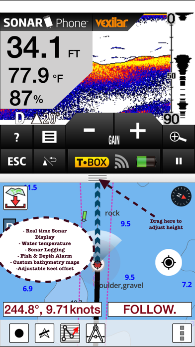
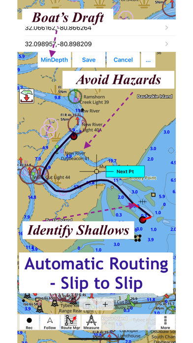
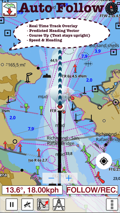
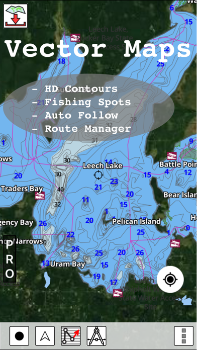
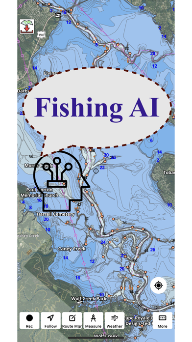
Screenshots

About i-Boating: Marine Charts & Gps
Frequently Asked Questions
Is i-Boating: Marine Charts & Gps free?
Yes, i-Boating: Marine Charts & Gps is free to download. It offers 10 in-app purchases.
What is the rating of i-Boating: Marine Charts & Gps?
i-Boating: Marine Charts & Gps has a 4.5 out of 5 star rating based on 14.1K reviews on the Apple App Store.
What are the in-app purchase prices for i-Boating: Marine Charts & Gps?
i-Boating: Marine Charts & Gps offers 10 in-app purchases ranging from $19.99 to $25.99. View full price history.
Who made i-Boating: Marine Charts & Gps?
i-Boating: Marine Charts & Gps was developed by Bist LLC. Visit their website at http://www.gpsnauticalcharts.com.
Developer
Explore More
Related Navigation Apps
Share & Embed
Use these badges on your website or blog to link back to this app's data.
<a href="https://apppricinglab.com/app/apple/994992062"><img src="https://apppricinglab.com/api/badge/rating?store=apple&app=994992062" alt="i-Boating: Marine Charts & Gps rating on App Pricing Lab" /></a><a href="https://apppricinglab.com/iap/apple/994992062"><img src="https://apppricinglab.com/api/badge/iap?store=apple&app=994992062" alt="i-Boating: Marine Charts & Gps IAP prices on App Pricing Lab" /></a><a href="https://apppricinglab.com/app/apple/994992062"><img src="https://apppricinglab.com/api/badge/rank?store=apple&app=994992062" alt="i-Boating: Marine Charts & Gps ranking on App Pricing Lab" /></a>